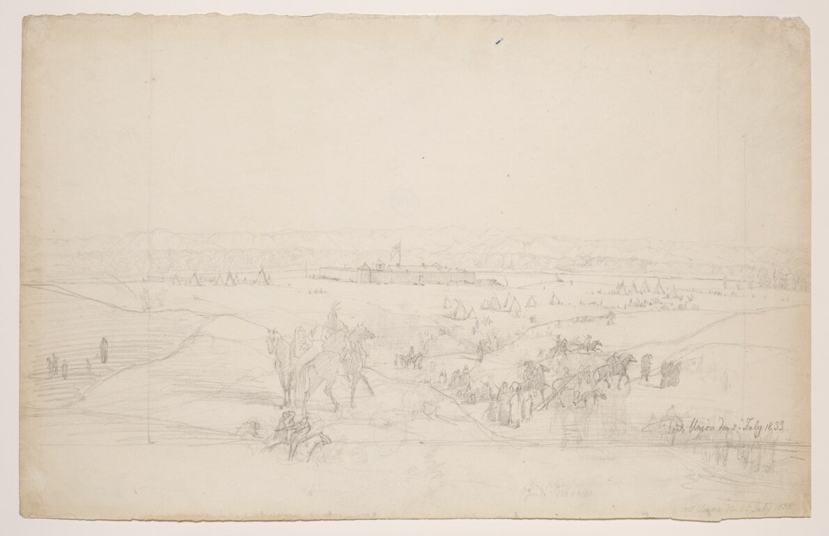
Fort Union at the Mouth of the Yellowstone River
Download
jpeg(73.71 kb)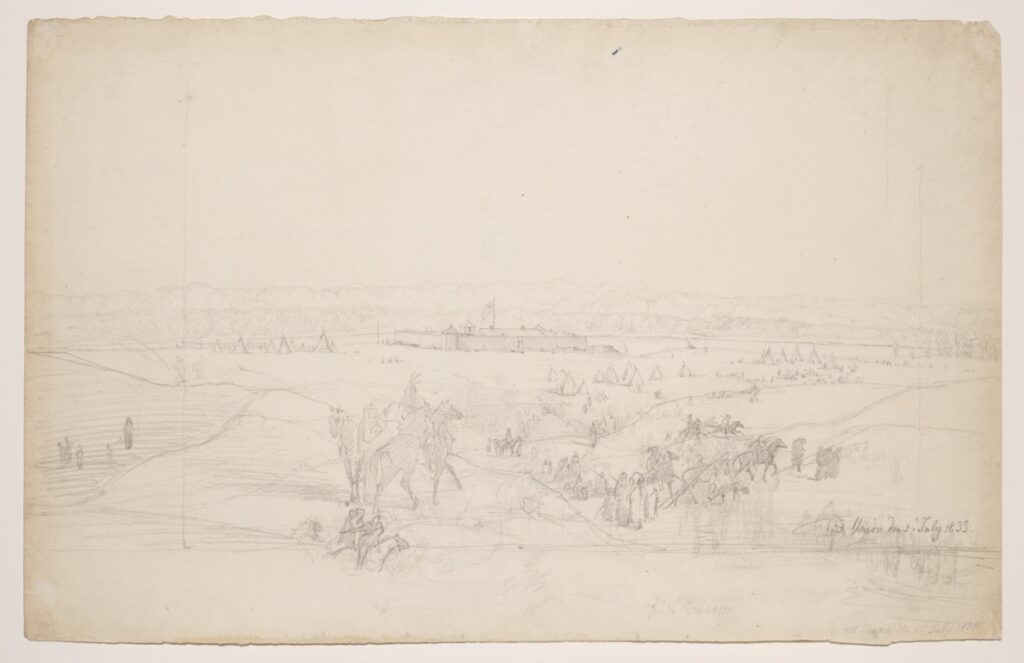
For information on accessing a high resolution version of this image suitable for print reproduction please visit the Rights and Reproduction page.
Artist
Karl BodmerBirth and death dates
1809 - 1893Artist Nationality
SwissTitle
Fort Union at the Mouth of the Yellowstone RiverDate
July 2, 1833Dimensions
10 7/8 × 17 in. (27.6 × 43.2 cm)Medium
Graphite on paperInstitution
Joslyn Art MuseumCredit Line
Gift of the Enron Art FoundationAccession Number
1986.49.171Rights (i.e. copyright information)
Joslyn Art MuseumPhotographer credit
Photograph © Bruce M. White, 2019Commentary
Following a brief stop at Fort Clark above modern Bismarck, North Dakota, in the early part of June, the Assiniboine continued upriver toward Fort Union near the junction of the Yellowstone with the Missouri in what is today extreme western North Dakota. Arriving at Fort Union on June 24, Maximilian estimated that the voyage from St. Louis had taken seventy-five days. Like most of the fur company posts on the Missouri at this time, Fort Union was situated on a low prairie sufficiently large to allow for the encampment of numerous Indians during the peak of the trading season. While at Fort Union, Bodmer produced studies of the Assiniboins frequenting the post. His sketch of the site itself as seen from the north looking southward toward the Missouri, which then passed within about sixty feet of the fort, is dated July 2, or four days before Bodmer departed with Maximilian for Fort McKenzie. A finished version of this scene was reproduced as Tableau 28 in the atlas of aquatints published in Europe.
References in Journal
June 24, 1833Approximate Depicted Location:
Fort Clark, North Dakota