Journey from New Harmony on the Wabash to St. Louis on the Mississippi and Stay There
Mount Vernon – Shawneetown – Cave-in-Rock – Mouth of the Wabash – Cumberland and Tennessee River – Mouth of Ohio – Mississippi – Commerce – Cape Girardeau – Grand Tower – Devil’s Bake Oven – Kaskaskia River and Indians – Ste. Genevieve – Selma – Herculaneum – Merrimac River – Jefferson Barracks – Vide Poche – St. Louis – The Sauk (Sac) and Meskwaki Indians1 – Black Hawk – Meeting with the prisoners – Preparations for continuing journey

March 22, 1833
Splendid morning. Clear, bright sky. View of the sunrise from the stern of the ship. Magnificent colors in the wake of the steamboat as the glowing disk of the sun rose above the tall Mississippi forest. Wild geese fly up here and there. To the right the bank is lower than to the left, where isolated cultivated fields are located in the dense, wild forest, in which here and there are striking rock formations.
Cool morning. The river has risen 3 inches since midnight. To the left, striking rocky edges at the peak of the mountain. After several hours Hat Island is still in sight in the distance. A creek to the left. Nearby, a one-story planter’s house with glass windows and a roof painted bluish black (like slate). Cornfields. Their fences run zigzag over the hills. Alcedo alcyon on the bushes along the bank. Downed trees wildly mingled with large boulders on the bank. Lacours Island remains to our right. Then a sharp curve to the right, whereby a magnificent pool is formed with splendid gradations of equally high cottonwoods and willows before it.
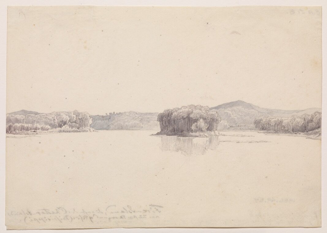
After breakfast, a splendid region. The big Large Island is located somewhat farther on in the middle of the river, as big and wide as a huge bastion. To the right a magnificently isolated island, Pine Island, with tall cottonwoods like a cap, splendidly contrasted with magnificent illumination against the vast scenic background. Vast view ahead. We pass between the two islands. The large one has a sandbar with wood deposits on its left side. At its tip it has a fringe of rising cottonwoods, behind which is the tall forest. Bank to the left steep, eroded, with fallen timber. A steamboat before us. Two pairs of Mergus cucullatus fly up near us.
To the right a beautiful wooded hill with limestone rocks; before it, a settlement. The big island is now included among the Chester Islands. The steamboat Return sails past us. Long after it passed, the waves strike the prow of our boat. To the right spicewood is blooming in the forest. A flatboat like those on the Wabash. To the right, at the base of the hill, a green grainfield. Farther on, new wooden houses picturesquely located in dense forest. Forest here tall and dense. Also many tall, white Platanus in it, though not as huge as in Indiana.
After several miles, another Chester Island. The pilot had a sounding made. Just as the captain announced 6 feet of water, the ship ran aground. The engine pushed backward; we turned left and soon were free again. To the right, St. Mary’s River empties from densely wooded banks. On the island to the left, a steep high bank. Sounding continues. The depth varies from 7 to 8 or 9 feet of water. On the bank, firewood with the price written on boards. White sandbars behind the island make a sand connection with the left bank. The steamboat Chester sails past us. On the bank to the left, trees (undoubtedly elms) are in blossom. Horse Island now almost connected by the sandbar to the shore, on which there is tall forest with a fringe of cottonwoods. It remains to our left.
Toward the beginning of the island is the village of Chester [Illinois], where we put in and go ashore for a quarter of an hour. There are still only a few houses here. Everything is still rough and in disorder. Stones, timber, and other objects lie about, also large piles of local limestone. The red oaks now had thick buds. A beautiful lizard—with carinate scales, dark angular stripes on its back, and two areas with a metallic sheen underneath its body (Agama [——])—was shot. Farther north (along the St. Peter’s [Minnesota] River, for example), it grows much larger. The hill behind the town has been severely thinned out; it is sparsely wooded. Furniture was being put ashore.
The weather was very nice. Hot at noon. At twelve o’clock, 11 1/2°R [57.9°F, 14.4°C] on the river. In the water, snags of wood and brushwood. On the right bank we soon see the mouth of the Kaskaskia River, on which Kaskaskia, one of the oldest French settlements along the Mississippi (as old as Philadelphia), is situated about 6 miles upstream. There lived the tribe of Kaskaskia Indians [an Illinois tribe], some of whom are still settled in the vicinity of the town. Only one man, however, is said to be of unmixed race.
The forest on Horse Island is entangled with very many creepers; the spicewood is in blossom. The river makes a sharp curve to the left in a southwesterly direction. The upper tip of Horse Island is sand with very much driftwood. An enormous skein of ducks, apparently Anas rufitorques. A remarkable deposit of driftwood on the sandbar. To the left, settlements and steep steps [steplike ledges] on the bank. Firewood is piled up on top. A Negro on horseback, others near the cordwood. There are very many slaves throughout Missouri, very many Negroes in general.
We sail to the left, close to the high bank; [there] are sandbars to the right. Large smoke clouds rise from the Kaskaskia region, perhaps [from] burning lime or a forest fire. Here a range of hills extends along the Kaskaskia; it is wooded and recedes somewhat. Several men were sitting on the sandbar along the edge of the right bank; in Father Hennepin’s day, the Indians (who have since disappeared) once sat here! A steamboat behind us is emitting smoke. A kingfisher on the shore, which consists of neat layers of white sand and dark-gray soil. Numerous turtles sun themselves in threes and fours on tree trunks and in the water. They are hard-shelled, most of them small. Someone shoots at them. The bank [is] terribly eroded.
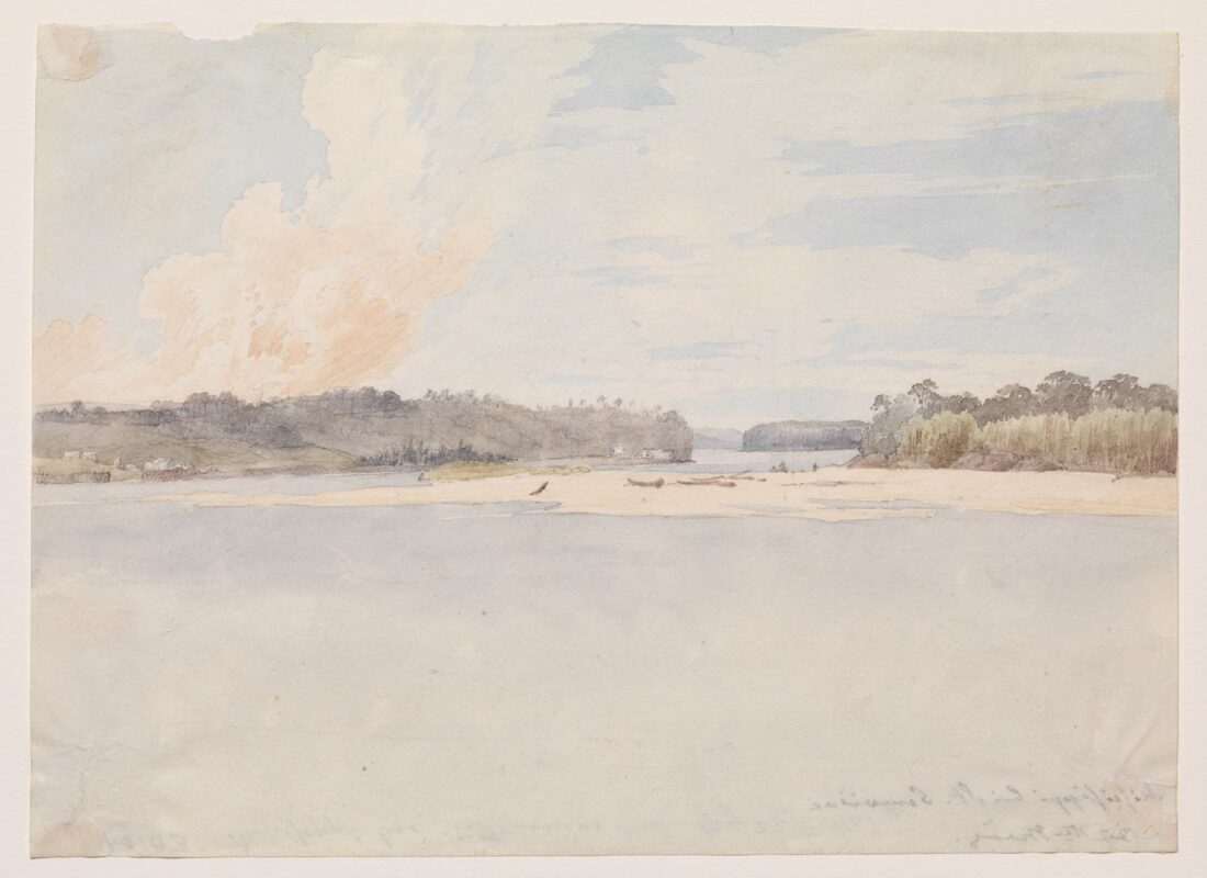
Lunch. Immediately thereafter, St. Lora Creek with a settlement. Farther on, several nice houses with many inhabitants. Then sand with large limestone blocks. Saline Creek with two islands, [the] Saline Islands, before it. The islands remain to our left. They are overgrown with cottonwoods and yellowish red willows. [The] connection between the islands is presently a dry sandbar; their banks of clay and sand have been horizontally stratified like steps by the river. In the middle of the river, a flat island, overgrown with cottonwoods and yellowish red willows, now appears before us.
The point of the mainland to the right near the bank is likewise sand; a fringe of willows of the same kind; cottonwoods; behind them tall forest. In this manner the riverbank continues. To the left, deposits of wood on Saline Island. On the island, cordwood with a roof built over it. The channel runs close to the bank. The island before us has two parts; it has a broad rim of sand on which one [can] see many wild geese moving about. Someone fired a rifle, but they did not rise at the first shot. On the second shot, the bullet struck closer to them—but they immediately settled down again.
The river bends to the left. Willows and cottonwoods to the left; to the right, tall timber and a steep bank, toward which we now steer. There is a single building there (Simonton’s Warehouse?). The bank there is vertical, with layers of sand; a strong echo at this spot. The river curves to the left.
Gaggles of wild geese. The river divides near Ste. Genevieve Island, which we pass to our right. Tall forest on the island, bank eroded, fallen trunks lie all the way down into the water. The bank is often cut off in a regular manner like fortress walls and berms. Left bank has cottonwoods and willows. Before us and at an angle to the left is Ste. Genevieve, behind which rise clouds of smoke from burning woodlands.
On our island to the right [there is] a settlement; the people there look like wild men, brown and poorly dressed. The hut is more wretched and miserable than that of an Indian. Wood and overturned canoes near the bank. Tall forest all around, a most picturesque scene. Scenic view before us. To the left, cottonwood thickets. Before them, large deposits of driftwood. The region around Ste. Genevieve has gentle hills in the background. The river is very broad here, a majestic stream.
From the island we continue to the left, over toward the steep bank and up along it. Ahead to the right, the river seems to flow through a narrow opening because of the bend (see Mr. Bodmer’s sketch). A picturesque situation. The steamboat Argus catches up with us near Ste. Genevieve, since it is not so heavily loaded. It moves past; we go ashore. Here near the landing there are several houses.
A large village of 600 to 800 inhabitants, Ste. Genevieve is situated about 20 minutes away from the landing. It appears to be in a state of dilapidation. It is an old French colony, contemporary with Kaskaskia. The streets run at right angles with fences beside them, the houses separated, a small church of red bricks. The houses are mostly of one story with a veranda on posts. Many Negro slaves. People use oxcarts, sometimes with seven or eight oxen. They speak mostly French but also English. [There are] also several Germans.
Gabouri Creek—with its deep, muddy banks—winds its way from the village, where it originates, [down to] the landing. There is a wooden bridge there. The creek flows part of the way on flat limestone slabs; along its banks tall cottonwoods grow. Platanus; most of the elms have finished blooming. The cottonwoods have thick buds. Above the creek is a large, flat meadow near the village, where Mr. Bodmer and Dreidoppel went to hunt birds. Here several short Gleditsia triacanthos grew. In the creek were Rana halecina in large numbers for spring mating; we caught several of them. Very many blackbirds, particularly the iridescent Fringilla erythrophthalma [and] Alcedo alcyon. Flights of sandpipers, a covey of partridges. A rabbit (Lepus americanus) was seen, too. Here I collected crumbling limestone and several blossoms.
In April or May, caravans leave here for the interior, the upper Missouri. They were now getting ready. We stopped for a few hours. Limestone was visible everywhere. The water was poor. Somewhat farther inland [there] are important lead mines. At about six thirty we boarded and had supper. As night fell, we ran aground. I worked on my diary.