Journey from New Harmony on the Wabash to St. Louis on the Mississippi and Stay There
Mount Vernon – Shawneetown – Cave-in-Rock – Mouth of the Wabash – Cumberland and Tennessee River – Mouth of Ohio – Mississippi – Commerce – Cape Girardeau – Grand Tower – Devil’s Bake Oven – Kaskaskia River and Indians – Ste. Genevieve – Selma – Herculaneum – Merrimac River – Jefferson Barracks – Vide Poche – St. Louis – The Sauk (Sac) and Meskwaki Indians1 – Black Hawk – Meeting with the prisoners – Preparations for continuing journey

March 23, 1833
In the morning twilight, we traveled on but soon ran aground several times and [were] momentarily stranded. Several nice islands, one with broad stretches of sand, all of them with tall timber. Picturesque banks, broad river, several sandbars. To the right, high, diverse hills; to the left, a broad lateral valley between picturesque limestone rocks. Here a creek opens.
The disk of the sun rises magnificently over the forest; it glows like fire in the Mississippi. To the right, strange walls of rock alternate with bottomland. Everywhere one sees high forest above which black crows fly. Ducks on the river. Another valley to the left. Before the point of the northern limestone rocks [there is] a small (new) settlement, where trees have been felled everywhere, leaving high stumps. Along the bank of the Mississippi, flat rocky ledges; on a northern hill, cedar trees thickets. On the opposite bank there is tall forest [with] no hills, [a] partially eroded bank, and sandbars before it. The cliff to the left again has towershaped rock formations.
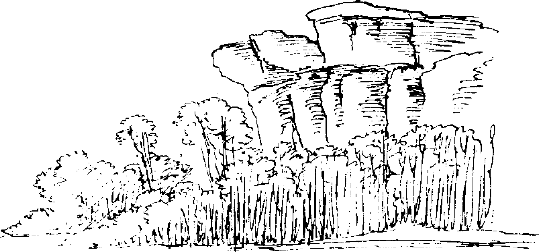
In this manner the limestone hills continue. To the left this rock wall is interrupted by wild valleys in which [there] are mostly log houses. Near some of them, cordwood was piled up. Single pine trees scattered in the forest. From each valley a small run usually issues.
[The] bank to the right before the forest is primarily covered with a tall fringe of cottonwoods with remarkably even tops. To the left, strikingly solitary rock turrets, which are often regularly distributed along the hill. The valleys are [again] partly closed by transverse walls. Farther on, a rugged lateral valley with [a] creek and a settlement. The surrounding mountains, also farther back, are high, rounded, wooded peaks. Farther upstream, limestone walls immediately continue again, most unique. In the forests, Platanus growth is not quite as enormous as in Indiana.
At seven thirty, 7°R [47.8°F, 8.8°C]. To the left along the bank are several islands with cottonwoods in the center, surrounded by willows, around which are large sandbars with creeks and runs between them and driftwood on shore. Behind the islands one sees splendidly rounded wooded mountains, some of them with remarkable limestone strata. Wild geese come very close to us; one never has much luck shooting at them. White gulls.
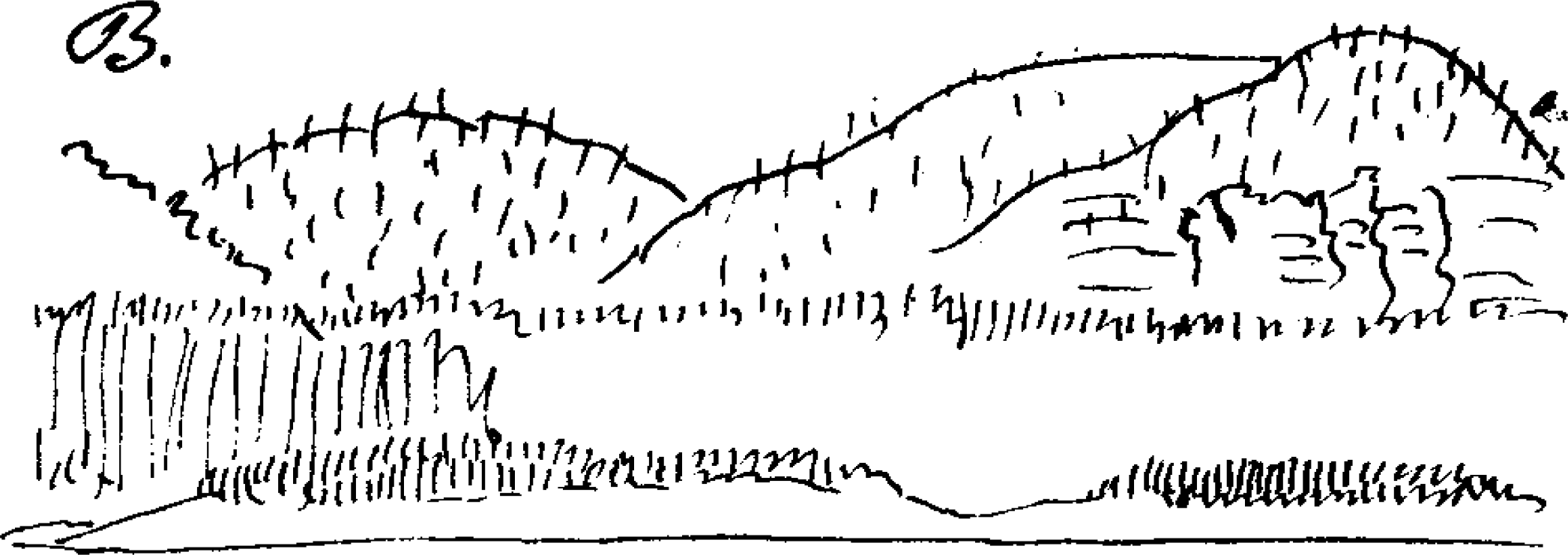
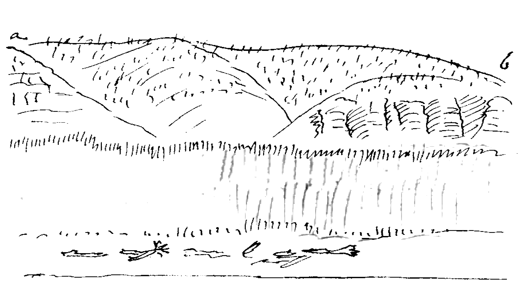
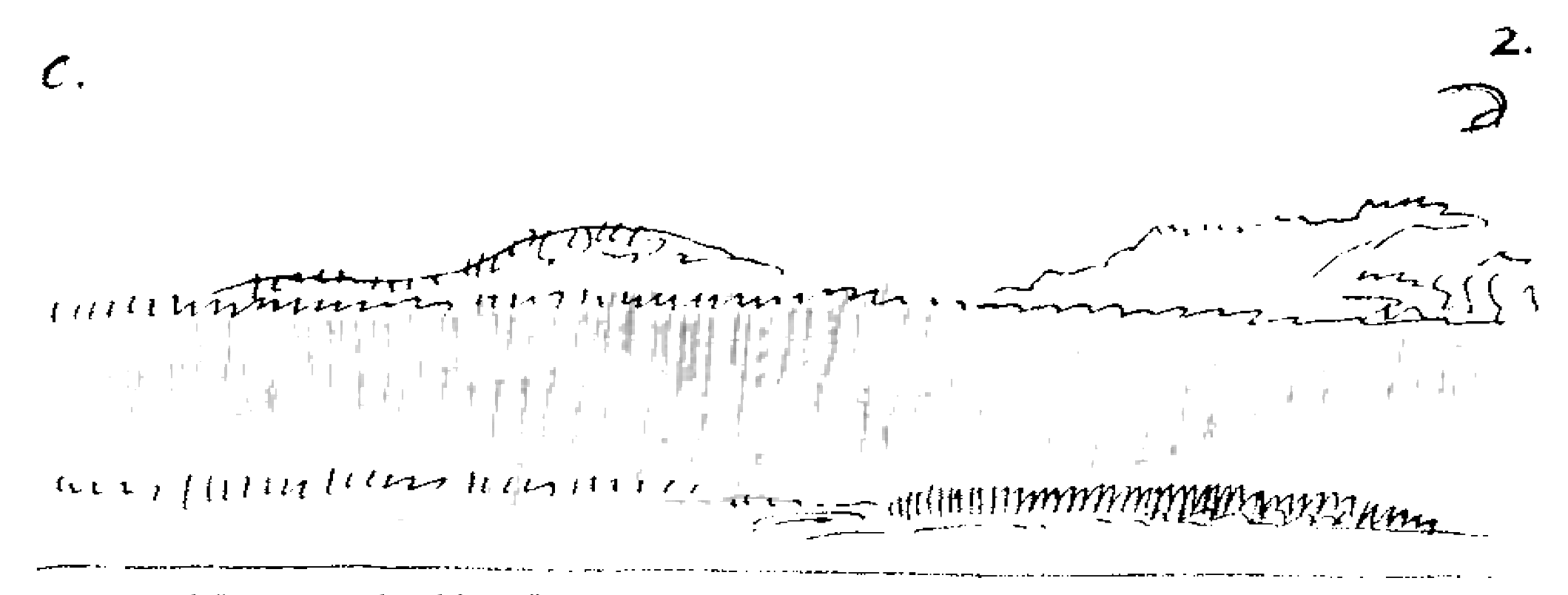
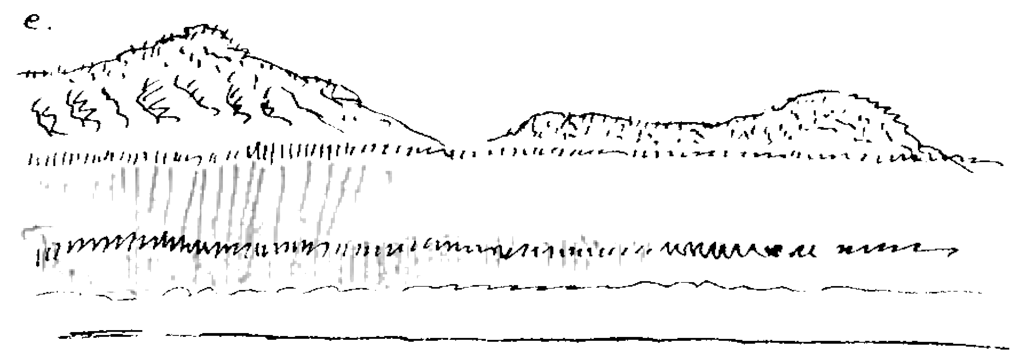
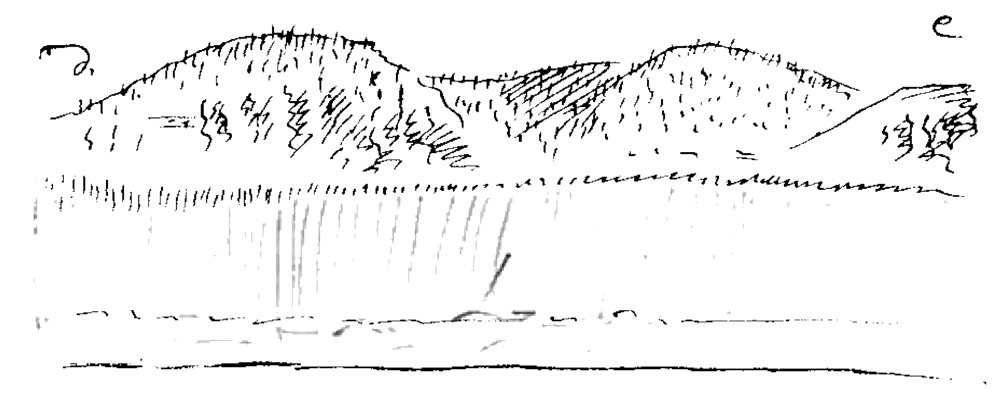
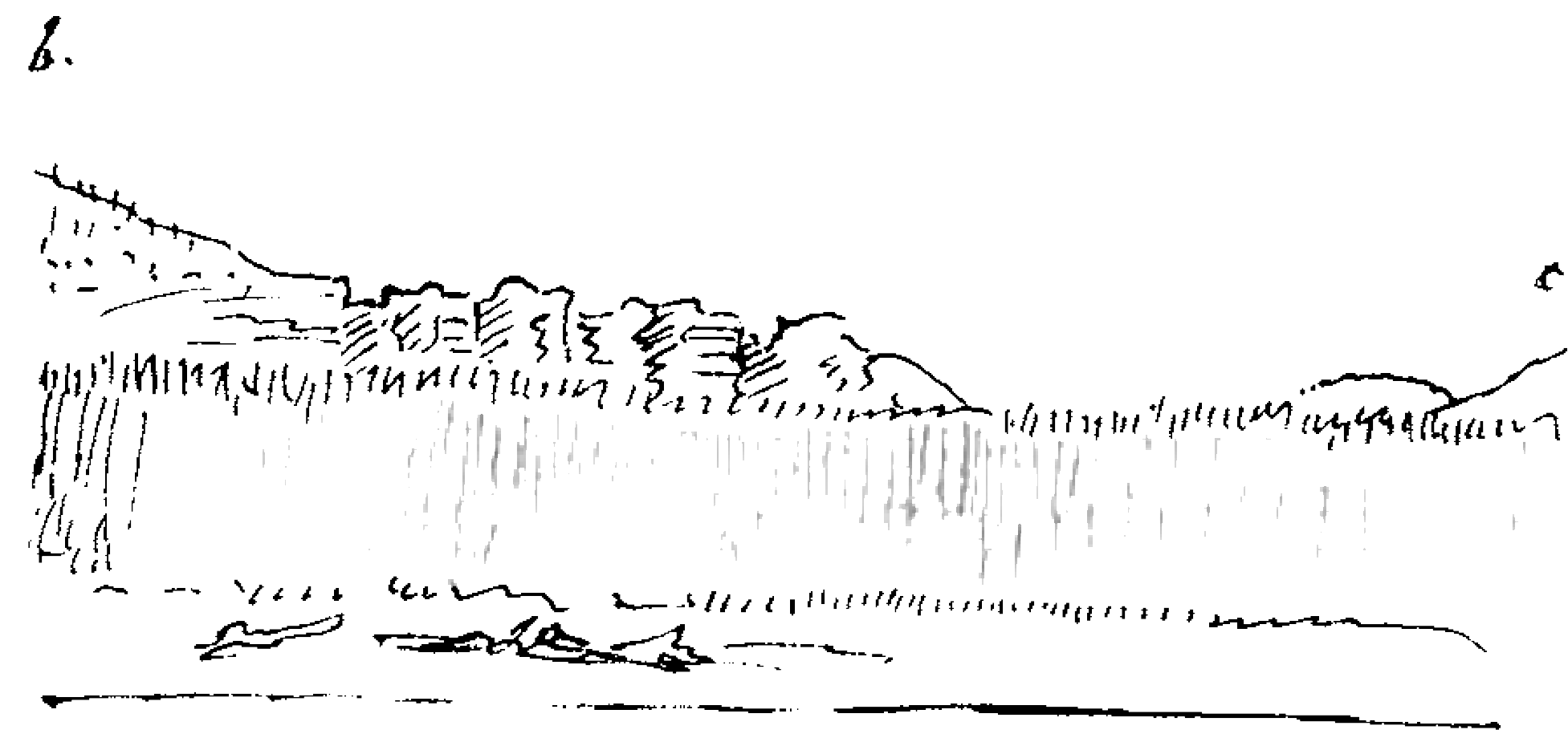
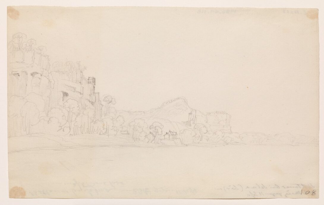
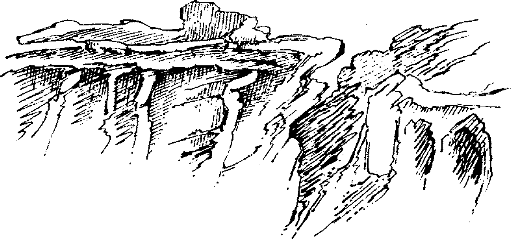
Farther on, an even stranger sandy island appears: flat, with the bank torn off at a right angle like an entrenchment. To the left, along the entire mainland, a tall fringe of cottonwoods, above which rise striking limestone hills, as the drawing on the previous page indicates. Off the left bank, a sandy island. To the right, steep bank 20 to 30 feet high. There are only a few settlements there. Before the bank in the river, numerous snags.
Before us a hazily dreary expanse appears; the vast region, the splendid river, and the distant mountain range disappear in the soft hazy light. On the right bank, spicewood blooms in all the woodlands. This entire region is rich in lead, especially in the vicinity of Ste. Genevieve. To the left, wild gorges in the bank, all of them now dry. Much driftwood in them. Piled up cordwood. The limestone hills continue along the shore. There are piles of driftwood on the bank below. This is how these banks and islands have gradually taken shape.
To the right, Fort Chartres Island. Fort Chartres, a strong garrison, was once situated on the land to the right. Our course is north[ward]. This morning we covered 10 1/2 to 11 miles up to the island just mentioned. To the left [there] now appears a most remarkable towerlike rock turret, on the outermost tip of which is a spruce or cedar. It resembles one of our old castle ruins on the German Rhine. Often these tower rocks have openings, like the ones for saints’ images in the cliffs along the Rhine.
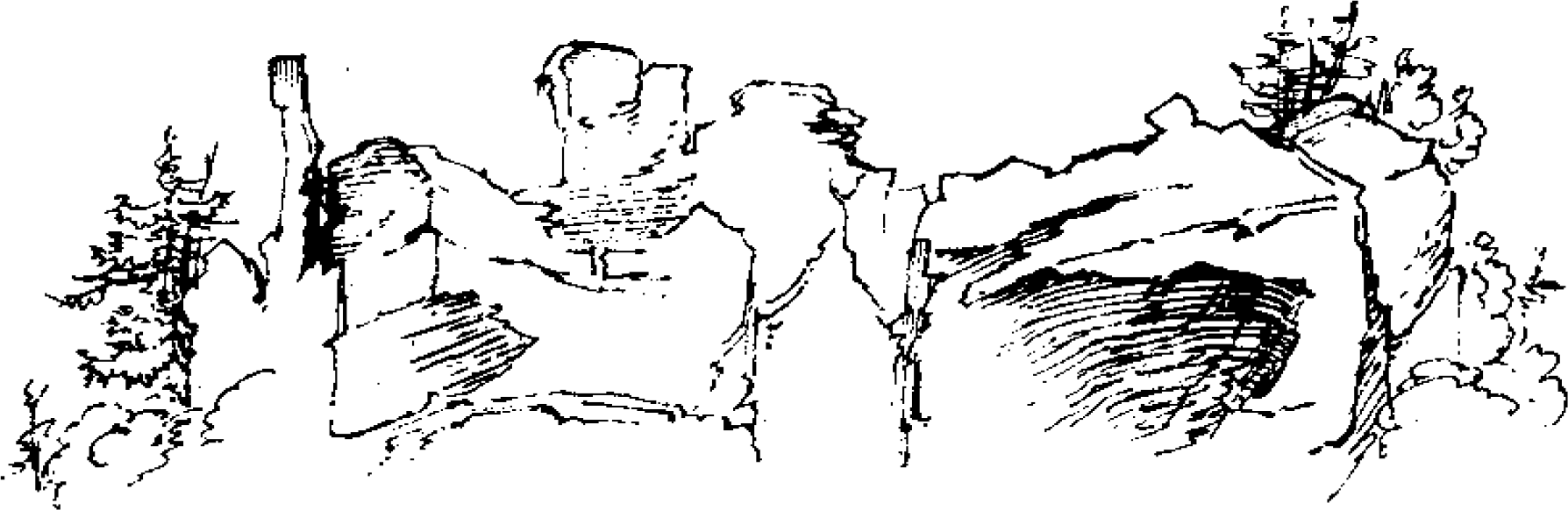
It will be very hot today. To the left we see the Rush Islands.98 I have never seen such uniquely formed cliffs. To the right along shore, sandbars off the forested riverbank. Bank low. Scenic, hazy, distant expanse along the river behind and before us; the distant headlands, banks, islands, and gradations disappear most beautifully in the hazy sunlight. To the left [there are] now striking cliffs with protruding horizontal and vertical strata, like borders, often with roundish holes between them.
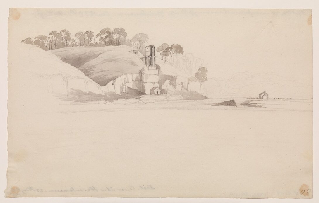
Somewhat farther on, a cottage on top of the sheerest cliff, a shot tower, where shot is produced. On the bank beneath the shot tower is the workshop, from which a trough runs up to the base of the steep limestone cliff. This is the trough through which the pellets pass down. In the upper story, they are then rolled and sorted.  Next comes the nice settlement [of] Selma, where we saw a black bear, chained to a pole, moving about in the open space in front [of and] between the buildings. A dovecote—a rarity. An Indian bark canoe lying on the bank.
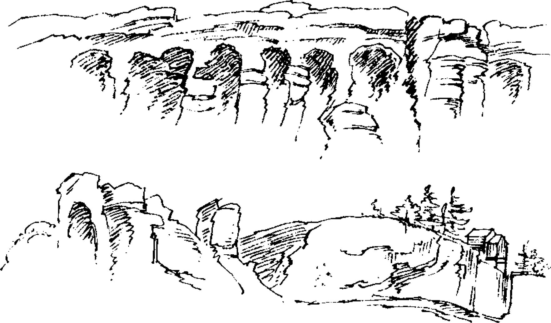
Now the Big Platteen Creek appears, and before its mouth are the three Platteen islands, two to the right and one to the left. We pass between them, so that two islands remain to our right. The creek is on the left side; the island is located before it. Ahead one sees Herculaneum somewhat to the right. The cottonwoods on the bank have very thick buds, which we [could] see from the ship. The range of hills is becoming lower. On the bank, striking, smooth rocky ledges; sparse forest on the hills, [and] the trees are not especially tall. Urubus in the air. To the left, oddly stratified limestone cliffs like walls.
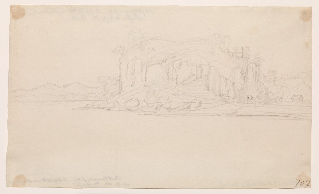
 Here in a shallow inlet lies the small village of Herculaneum, with gray wooden cottages, of which several are painted white. There is only one brick house among them. They lie scattered about, distributed singly, with tall Platanus and cottonwoods among them. Near the miserable huts, one sees several elegant ladies walking along the shore; the veils on their large hats flutter most fantastically in the wind!! Near the limestone hills to the left, a shot tower on the edge of the crag (see Mr. Bodmer’s sketch). Herculaneum has about thirty houses. Right above the village is a limestone crag with a hole in its front corner.
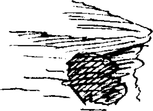
We cross the river to the right, where there are several houses, about six or seven [of them]. [These villages are] called Bridgewater and Harrison. They are not far from each other. Upstream, [the] broad, vast surface of the river. At twelve noon, 14 1/2°R [64.6°F, 18.1°C]. We sail along the right bank. There is another shot tower on the cliff a good cannon shot beyond Herculaneum. The perforated boulder is already some distance behind us, directly above Herculaneum, as stated, the same one that I just sketched from the front. A triangular perforation (see the next page) was now revealed.
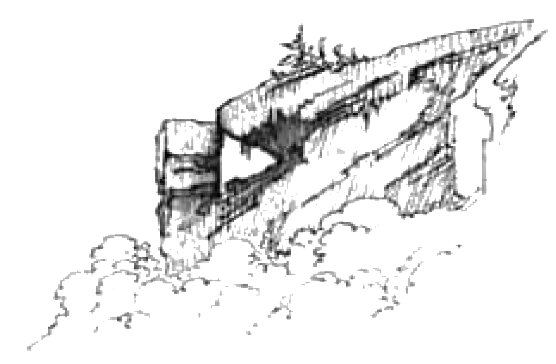
Insertion, see below.
One can see daylight through this hole. Behind the upper shot tower (which Mr. Bodmer also sketched) a creek empties into the river from a valley surrounded by more flattened hills. Next along the left bank comes a chain of hills, the small valleys of which regularly empty into the Mississippi. The hills between them are all rounded off in a regular, gentle manner.
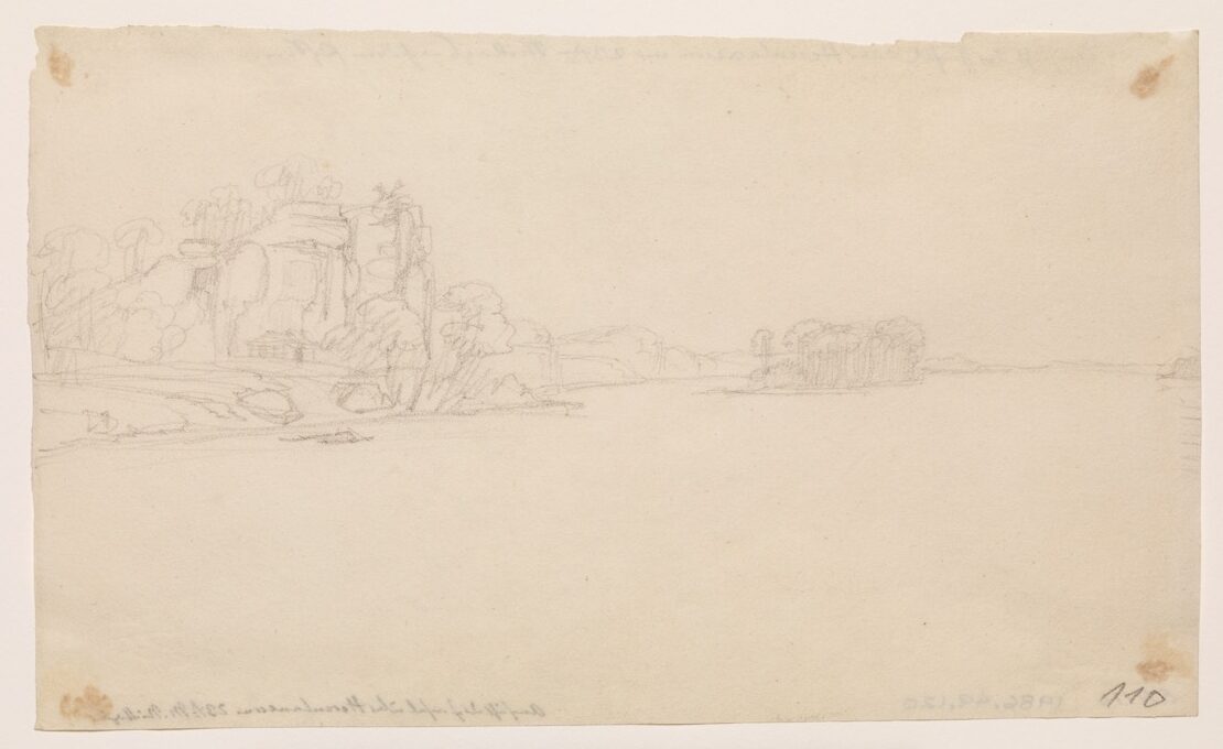
A brisk wind from the south today, hence favorable. In the afternoon, striking cliffs to the left again. On the sandbar of the island to the right before the forest, a troop of wild turkeys walking contentedly. A second island, which Mr. Bodmer is sketching, before us in the river. To the right, the point of the other island, with many snags in the water. A small cottage on this island. A large sandbar before it with two small willow islands. Downstream along the left bank, striking crags, emerging from the forest, both of them isolated.
 On the other side a creek discharges, beyond which a settlement is located. A small hut. Large deposits of wood on the islands located opposite the creek. The steamboat Michigan moves past us, a big, beautiful ship; its name is painted in red. To the left Cape Little Rock juts forth with rocks about 40 feet high, on which there are several huts. It has this shape [see fig. 6.27].
Behind the cape the Little Platteen Creek empties, where the chain of limestone hills begins. A shallow bend of the river to the right. A large skein of ducks. Before us to the left, the islands at the mouth of the Merrimac River; it remains to our left (see Western Pilot).
We continue along the right bank. The banks of the river are covered with tall forest, the islands with cottonwoods and willows; before them [are] sandbars. Wildly eroded bank to the right. Trees and branches toppled over along the bank and in the water. We leave the shore and steer to the left as far as the middle. To the right along the bank, an opening appears in the tall primeval forest, through which one sees a little house. This is how planters secure a view of the river for themselves.
To the left, hills with several habitations along the river; [the hills have] old trees on them. Fine’s Island, with sandy shore, willows on it, otherwise overgrown with cottonwoods. We passed it to our left. Between the left bank and the island there are extended sandbars; here one can cut off three miles at high water level. Large skeins of ducks, also individual gulls. [On the] left bank, an elevation with limestone cliffs and forest, on top, as though shorn. The steamboat Napoleon is already returning from St. Louis. Farther on, to the right, a cottonwood grove along the bank, [with a] sandbar before it. Before us to the right, an island with tall forest and a fringe of willows, probably Roberts Island. To the left, a hill with limestone rocks. A broad view before us; Vide Poche [Carondelet] far off in the distance.
The region is no longer as beautiful as it was before; the riverbank is flatter. Roberts Island with a tip of yellowish red willows, otherwise tall forest and a fringe of cottonwoods. A wild turkey (Meleagris gallopavo) flies over the river right in front of us; we can still see it sitting among the limestone rocks. The rocky hills to the left are rugged, rather bare, whitish gray, dotted with individual trees, and full of rocky debris and rubble.
Before us, the distant riverbank, very low. Upstream the river forms a broad, majestic expanse. Hills to the left bare with tall yellow grass and individual trees; several rows of limestone rocks. Pear Creek and the Jefferson Barracks in the gorge; on the elevation are the barracks, where the United States flag waves. They are located on the crest to the right. Down below, a number of buildings, several of which are quite nice.
From the stern one can better survey the entire site. In the barracks, the famous Sauk chief Black Hawk is now being held prisoner with eight to ten chiefs, including the Winnebago Prophet.
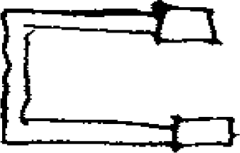 Above the Mississippi a gentle hill rises beside the lateral ravine. On this [hill] the barracks are built in the form of a square open toward the front. At each front end there is a higher building. The commanding officer, General Atkinson, lives in the northern one. We were here at five thirty in the evening and moved straight past it. I shall describe this installation later.
Farther on, large sandbars in the river along the left bank. Low, ragged hills with a sparse, inferior forest behind them. The other bank is steeply eroded. Sand or mixed fertile soil. The forest is wildly entangled [and] full of fallen timber, some of which extends into the water.
To the left a creek, possibly Pear Creek, empties into the inlet; the river continues and makes a tight bend to the right; to the left of the bend lies Vide Poche or Carondelet, a town that looks quite attractive from a distance. After supper we reached it and sailed past it. It is located on a flat, unimpressive ridge with low thickets of scrub oak. Houses in respectable number. One section is more consolidated and forms the town itself, but a large part consists of scattered individual houses.
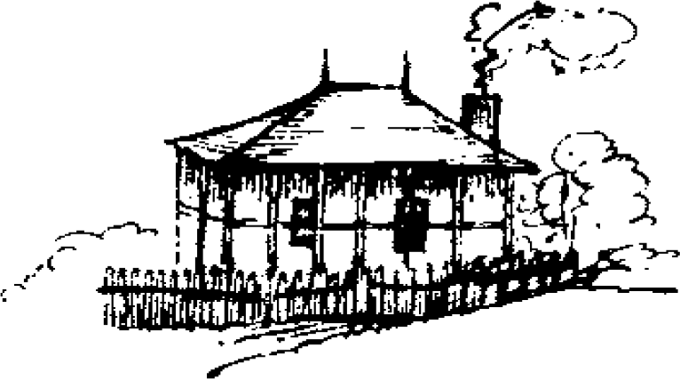 [This is] an old French settlement, as a whole unattractive, built about a hundred years ago by French Canadians. They are said to be lazy, inefficient, and unenterprising settlers. A very old house, probably the oldest one, is located on the Mississippi and has this shape [see fig. 6.29]: On the bank [there] is much split wood, cut from driftwood. Beautiful old elms with widely extended branches. Above the town there is a remarkable natural limestone wall, which rises at an angle from the water. Farther on, hills with low oak thickets and a white shot tower. Before us and somewhat to the right [there] is a large island; on the branch of the river behind it lies
Kaskaskia Cahokia. We continued somewhat farther and lay to for the night near a single house.