August 1, 1833
Early in the morning, densely overcast sky, rain; at six o’clock the sky cleared up; by seven o’clock, already warm sunshine. Early, we saw strange clay peaks along the left bank. Some were high [and] had sharp ledges with jagged peaks, [the] base [being] sandstone or argillite. The river water is much clearer today than yesterday. Two men were sent by land with a letter to Fort McKenzie: Croteau was one of them, Rondin the other. At 7:30, 79 1/2°F [26.4°C]. A large, nameless creek on the left bank. In the clay walls, large numbers of swallow nests. They build their semispherical nests out of the material of the mountains. The hunters go ashore. The river is about 100 paces wide here. Both dispatched men went ashore on the left bank. They [traveled] along this side, and each took only a woolen blanket and his gun. The [hunters] were taken on board, and we navigated across the river to the right bank.
Today our helmsman, Morrin (surely the man who threw most of my objects into the river), pushed young Beauchamp overboard into the river because he was not at his proper post; [Morrin] knew the latter could swim. On the right bank, the men were put out on the cordelle. There was a young willow thicket here, mixed with roses and the broad-leaved Asclepias. Several plants, some of which I collected, grew on the bank, which was a mixture of clay and sand. Yesterday I had also found the one with small violet flowers [— —] on the prairie. 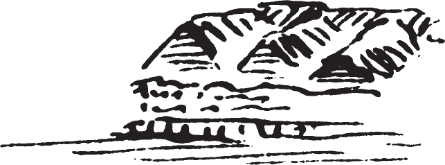 The right bank was completely covered with rocky debris; the left [one had a] sandy shoreline. The hills of the right bank are very unusual: clay, bare with protruding ridges and heads. Soon unusual hills appeared on the left bank; one of them resembled an organ built on a pedestal, with vertical stripes; a small island with willows followed immediately.
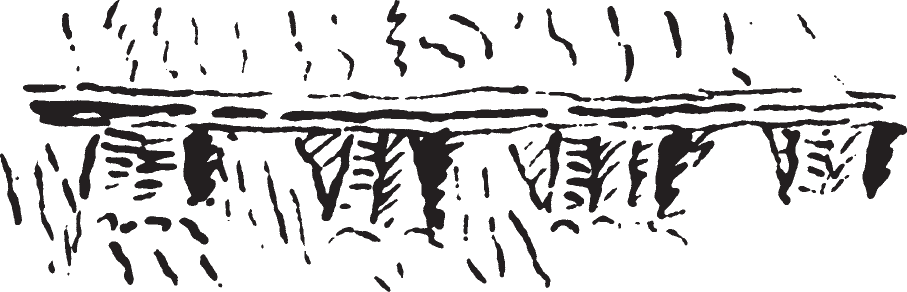 The river now made a bend, and one of its arms cut off Tea Island, a large island. Before we reached it, we had to the right high clay walls, caved in and wildly devastated, [consisting] of the usual dry, crumbly, rugged clay. On the left bank [we had] the
high bare, long, steep ridges with unusual sandstone ledges supported by perfect, completely regular columns. Above these mountains, higher domes and ridges peer forth, overgrown with conifers. Before the channel, which separates the wooded Tea Island from the right bank, we saw elk. Messrs. Mitchell, Culbertson, Papin, and Deschamps rowed over there but soon returned. Then they rowed to Tea Island. Mr. Bodmer also went out. We stopped in front of the channel and relieved the men on the cordelle. Then we navigated through the channel, which at the beginning is about 80 paces wide. Like the island, the right bank has tall cottonwood forest, the border of which contained not willow but young cottonwood growth instead. On the right bank of the channel, the forest soon came to an end and steep clay banks again appeared.
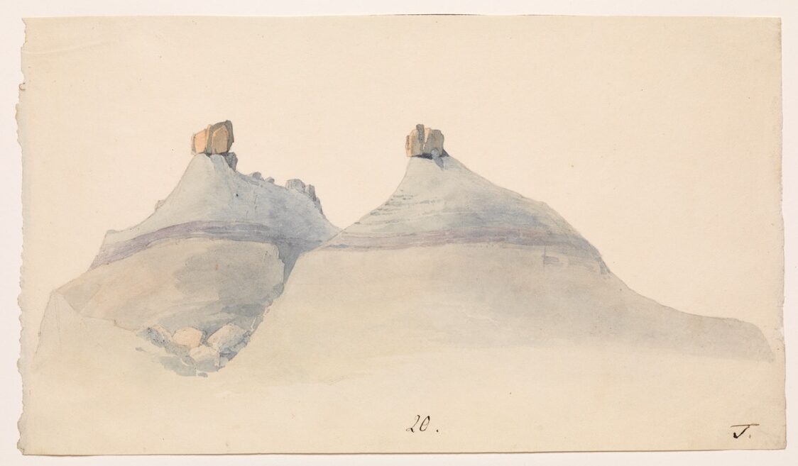
On the left bank, we had already heard six shots and now found a pole with a sign near which a deer lay, a fawn, which was fetched with the dinghy. Soon there were more shots. On the right bank, very unusual clay turrets; they extend forward like domes and have individual isolated points; one of them looks like an anvil standing upright. On the left bank, two hunters with a deer appeared before the willows. It was Doucette and someone else. Nine shots were fired. On the upper tip of the island, we saw the other hunters gathered near a dead deer. Mr. Mitchell called out to the boat to wait. Soon the dinghy returned, loaded with the hunters and game; they had shot four elk cows, an elk calf, and a deer fawn. Mr. Mitchell saw a big blackish eagle but, because of the elk, did not want to shoot. It was generally agreed to rebaptize the island, to no longer give it the name “Tea” but instead “Elk Island.” An elk swam through the channel before us, and we saw someone very close shoot at it from the right bank. Mr. Mitchell has always found elk on this island, and last spring, buffalo, too. Today he had found a big rattlesnake on the island. Bodmer came in from the right bank and brought a large snake (Coluber eximus), which was 4 feet 2 inches 4 lines long. He had also seen a buffalo.
In the river a sandbar or new island overgrown with willows remained to our left. In this region we [next] saw a green island before us and buffalo cows; the hunters ran ashore but did not reach them. The island is Lewis and Clark’s Bighorn Island, before which we found shallow water and hence could not continue in [that] direction. We drifted back again. At twelve o’clock, 80°F [26.7°C]. We navigated around a sandbar and tried to move up along the left side of the river.
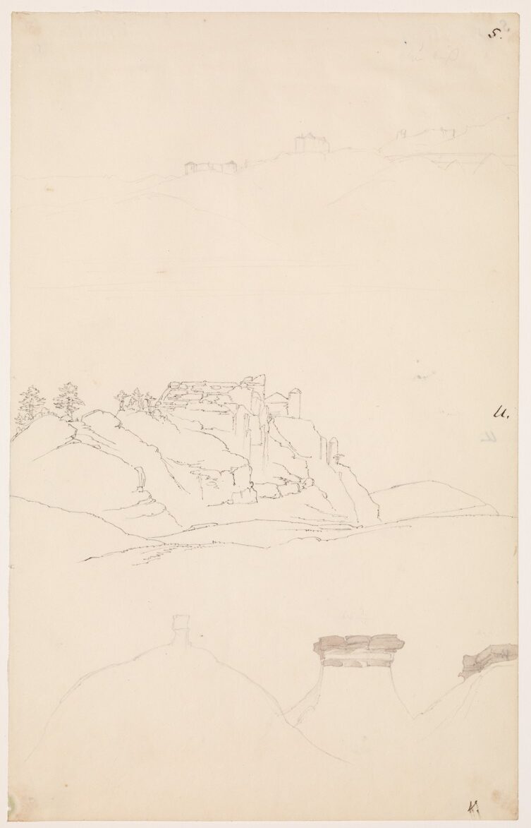
The hills to the right are of uniquely strange shapes: roundishly arched, breastlike, some with transverse strata of sandstone with perpendicular furrows. On top of them, organs, fortresses, small garden houses, small sentry boxes, columns, and furrowed ramparts. Rows of conical, partly caved in and crushed peaks, etc. Particularly interesting is the view into the lateral valleys. Here hills and conic domes follow each other row on row; almost all of them support yellow-reddish or reddish brown sandstone domes resembling battlements, which always have unusual shapes. Some stood there, deceptively similar to old castles on the Rhine; others formed figures narrowly pointed with a thick head, etc. They are mostly bare, graybrown or whitish gray, dried out and heated by the sun.
We are approaching the region that is called Mauvaises-Terres [Badlands]: tall, strangely shaped hills where the bighorn live. Here there are still narrow strips of forest, which soon will come to an end, along [the] shore. The river has a much straighter course than previously. We saw a small striped chipmunk hopping around on the clay hills. Here the clay walls along [the] shore are mingled with big sandstone blocks. Where they have collapsed and rubble has slid down, one finds numerous pieces of glasslike mica, or isinglass. Before the hills, or rather mountains, there are often narrow, level areas overgrown with light-bluish bushes of Artemisia, with old cottonwoods, often of significant thickness, among them along the bank. A painter should be able to stay here for several years to sketch, step by step, all the interesting mountain regions of the Missouri. His collection would be most interesting and perhaps unique [among] its kind. 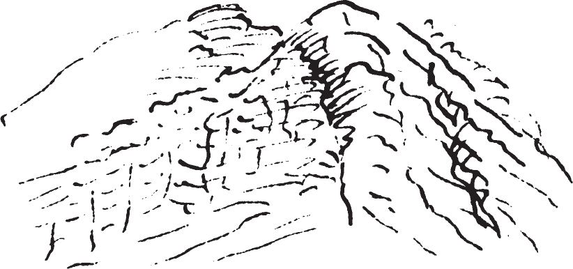 Some of the large sandstone mountains have clearly sunken into the ground, for their layers and ridges run in divergent directions. Entire walls, which continue for great distances, have been formed in this way. On their summits turf has formed and is covered with single conifers, which, for themost the most part, are only sparsely distributed. Such sunken hills often lie before the other ones, and one can quite clearly imagine their sinking down in the general muddy valley that once existed.
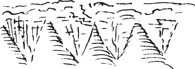 The wind here was brisk and cooling; if only it had not been completely contrary, we would have rapidly forged ahead. On a long wall of the mountain that followed, the rubble had slid down for many years and had formed colossal regular buttresses. In general these hills are colored pale gray-yellow, gray-brownish, or whitish; in places, [they are] yellowish brown with reddish transverse ridges and layers. In the lateral valleys, conifers usually appear in profusion. On the right bank, such mountain strata were often inclined at an angle of 30° to 60°, followed by those that extend completely horizontally.
On the left bank before the hills, there now appeared a long prairie overgrown with the shrubs common to such places: thorn and Artemisia. The thorn is probably the plant that Lewis and Clark call the pulpy thorn. Its leaves usually drop off [quickly] in the dry specimens found in herbariums. It blooms with small yellowish catkins, and the dried old blossoms cling to the branches. Latresse, who had so disgracefully missed that morning when the elk from Elk Island swam across the river, returned with a deer. We reached an island—Lewis and Clark’s Ibex Island. It remained to our right. Its tip was a sandbar; then came level prairie with bushes; afterward, rather tall old cottonwoods. Somewhat above the island, behind the prairie and along the left bank, rose hills on which unusual formations stood. One of them looked like a house with a pair of gables (see sketch U.). Opposite, on the right bank, there was a level point of land covered with flat open prairie around which the river wound. Having arrived at the point, we saw three buffalo, and several hunters went ashore. But they missed, and we saw the animals take flight. This hunt delayed us; furthermore, heavy thunderstorms drew near. Therefore, we made the ship fast, and the wind began. There was only [a] little rain. The dark clouds dispersed somewhat, and at nine o’clock it was calm and beautiful, [though] the sky in part [was] still threatening.