Journey from New Harmony on the Wabash to St. Louis on the Mississippi and Stay There
Mount Vernon – Shawneetown – Cave-in-Rock – Mouth of the Wabash – Cumberland and Tennessee River – Mouth of Ohio – Mississippi – Commerce – Cape Girardeau – Grand Tower – Devil’s Bake Oven – Kaskaskia River and Indians – Ste. Genevieve – Selma – Herculaneum – Merrimac River – Jefferson Barracks – Vide Poche – St. Louis – The Sauk (Sac) and Meskwaki Indians1 – Black Hawk – Meeting with the prisoners – Preparations for continuing journey

March 21, 1833
Early [in the morning], overcast sky; strong, cool wind. At seven thirty, temperature of 5°R [43.3°F, 6.3°C]. River as usual, wooded banks everywhere, here and there with a fringe of cottonwoods. Steep bank to the left; to the right, low one with sand. After a journey of about one or one and a half hours, a gradual bend to the right, within which, on the left side, Cape Girardeau is located, an old French settlement that people say is growing, but one does not notice this from the appearance of the shabby place.
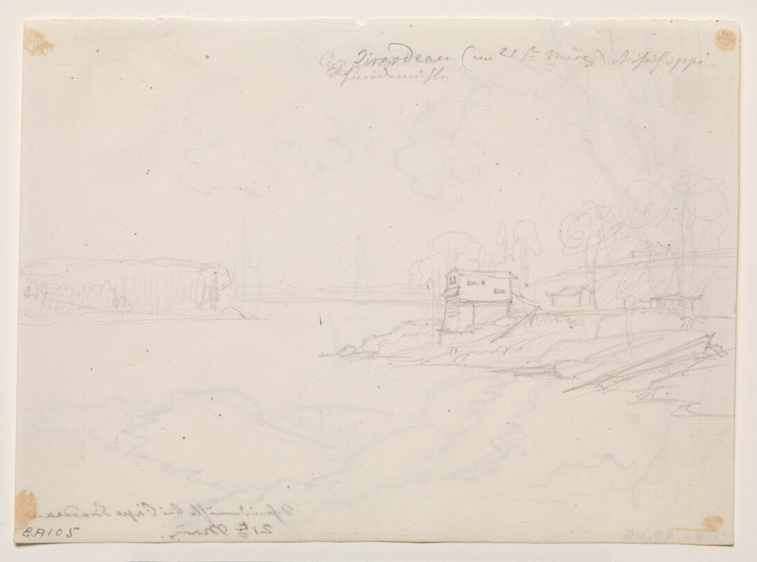
It is a village with buildings scattered about. Numerous limestone rocks on the bank. Here there are very many fossils, especially conchylia, in them. Limestone strata on the bank. Rather imposing village with dispersed houses, some of them rather good. At the beginning of the place, a sawmill was being built near the river. The last building is another mill, a flour mill on a high stone foundation (see Mr. Bodmer’s sketch). Cold, bleak wind. Girardeau Island to the right. Soon a small, rocky ridge to the left on the bank, apparently with shoots from oak stumps and a settlement consisting of one house. On the other bank, a fringe of cottonwoods. Yellow willows before them.

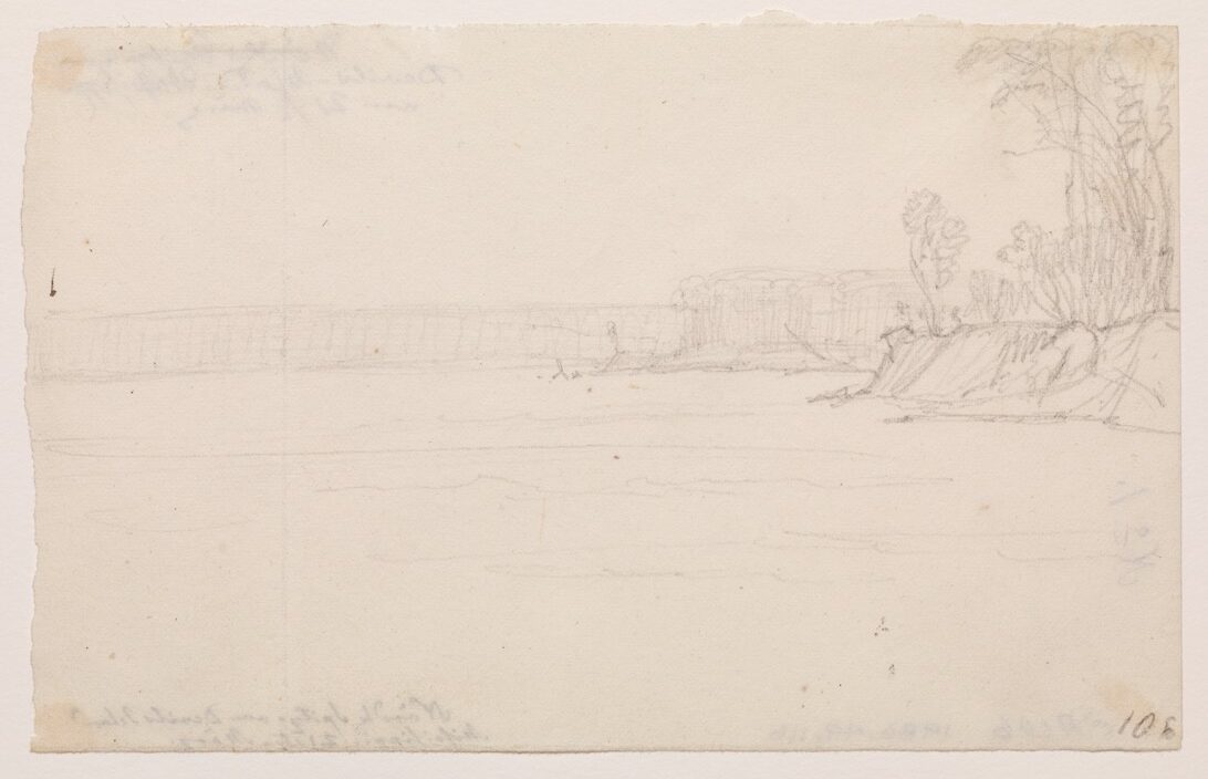
The river now divides around the broad Devils Island, the tip of which is shaped like a broad bastion. Clay bank steep and dark gray. Sudden decrease in the water; more water to the right. The island remains to our right; a sandbar beside it, likewise to the right. Steeply eroded banks to the left, devastation of the forest. Here in the river lies a steamboat that sank (was snagged) three months ago. It is already totally destroyed. In the forest one could see spicewood blooming; this is always a sign of fertile soil. [The shrub] has a splendid aroma.
Devils Island now comes to an end. One occasionally sees fringes of cottonwood similar to the Juelich Avenue near Neuwied. Many ducks. (Mr. Bodmer is sketching the northern tip of Devils Island and the cape in Missouri to the right above it.) Urubus high in the air. Bainbridge Island in the river to the right; it remains to our right. Before it, several houses (Harrisburgh) on the right bank. On the opposite side a small village, Bainbridge. The steamboat Cavalier approached us. Mr. Bodmer had sailed on it earlier.
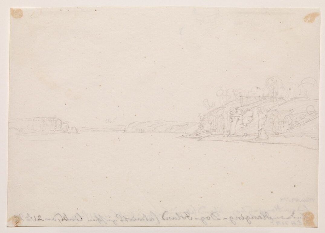
Numerous snags and logs in the water before the island’s southern tip. Banks on both sides steep and eroded, 20 feet high. Downed trees. To the left there is still a row of wooded hills with limestone rock clusters and rocky ledges. A nice green, fenced-in grainfield. To the right behind Bainbridge Island, a large sandbar off the bank with much timber lying on it. A gray eagle flying around above it. To the left between the hills, tall forest with scenic ravines; the oaks still have some of their yellowish brown winter foliage. Several lone pines in the forest. Cone-shaped, gently tapered hills. On the bank before them, flat limestone strata as a base.
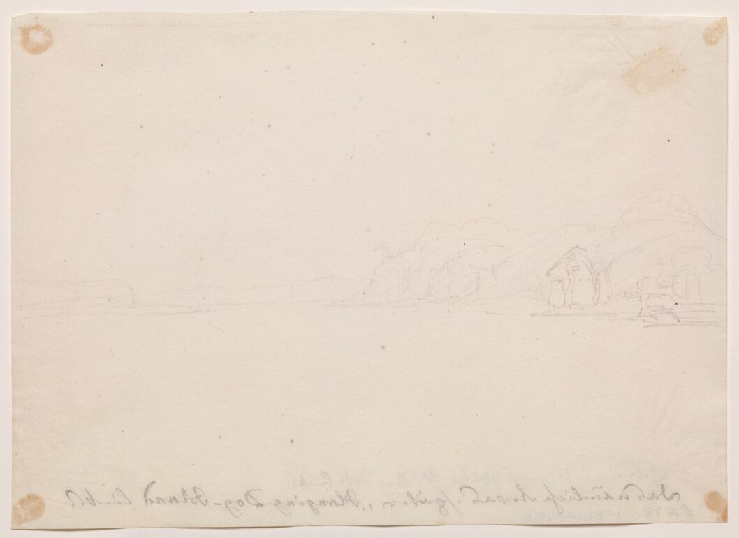
This stretch of the river is called Hanging Dog Bend. The river is beautiful and wide. Tobacco is cultivated on the left side. Farther on, Indian Creek, now called Apple Creek, empties. Hills before it. Limestone walls with transverse strata called Devil’s Tea Table. They have horizontal layers and vertical cleavage, are bare in front, steep, and overgrown above with woodlands. Sandy surface at their base, since the river is low. To the right along the river, sandy, steep, 30-foot-high banks; on top of them, a fringe of cottonwoods and woods.

At twelve noon, 9 1/2°R [53.4°F, 11.9°C]. At about one o’clock, Hanging Dog Island, linked to the right bank by a large sandbar. One sees the sand flying like clouds everywhere, even in the distance. At the beginning of the island, the chain of limestone hills recedes along the right bank. There is flat wooded land before them where several settlements are located. The island remained to our right. Now it is barely separated from the mainland by the water. Its southern tip consists of steep sand with bushes reaching down toward the water. [At the] end of the island, sand and yellowish red willows. On the area of sand opposite, in the forest, a settlement where nine huts have been built. Much stacked firewood. Again to the left, opposite the sandbars below the island, limestone walls withgreen with green cedar trees. Urubus in the air. The rocks shaped like round towers. The entire limestone layers that the river has breached have this form at the peak of each hill on their sections or intersections. Many vultures streak about above these rocks; they probably nest here. The other bank seldom has rocks like these; it is mostly low and wooded but far more fertile. Opposite the end of Hanging Dog Island, limestone rocks are gray, light yellow, light blue, or yellow-reddish—beautiful colors. Moss and green conifers near them. They often form striking, isolated turrets. Picturesque ravine with a run or small creek cut deeply into it. Flock of ducks, probably Anas rufitorques. To the left, a nameless creek with a sandbar before it.
After lunch, sparsely wooded hills to the left. [Here,] many Pinus (Pinus rigida ?) begin, interspersed in large numbers among the deciduous trees. The ship ran aground but was immediately free again. It turned to the left but was stranded again for about half an hour. The engine was reversed, [the boat] turned, and finally a passage was found to the left along the land. The woodlands here are already more similar to the European forests than in Indiana. As soon as we sailed close to the left bank, we were instantly warm and protected from the wind. The underwood in the forest had a greenish tinge, with blooming spicewood.
A remarkable limestone bridge with horizontal stratification just offshore. A creek to the left; immediately behind it, a settlement with much piled-up firewood. Green fields, beside them hills with a mixture of conifers and broadleaf woods. Cedar trees among the rocks. Opposite, on the other bank, the Muddy River empties through two branches. Near the above-mentioned settlement to the left, a large wooden signboard has been erected on which the grade of the firewood and its price are written.

The range of hills extends along the left bank, on the tops of which are pine trees. To the right, [a] broad island before the outlet of the Muddy River, with tall woods and [an] eroded, not-very-high bank. Immediately afterward comes Sandy Island, with a sandy, white tip on which short orange-yellow plants (willows?) form a strip. Then tall cottonwoods and forest, before which there is a light-colored sandy bank. There is a water outlet before the forest on the left bank. The water has pierced a sand layer. Distinctive formation of the limestone hills; the valleys are closed in front by transverse walls, breached by a creek, small brook, or run. Conifers a very fresh green color. On the island one sees something green to the right among the cottonwoods, probably cane. The soil on the limestone hills is poor; deciduous trees do not grow so tall here. A creek to the left. On the bank to the right, tall forest, full of white Platanus. This is followed by a sandy riverbank; then limestone hills with rocky debris and forest rise. Soon strange rocks appear, and to the left, on the opposite side, even stranger ones; the Grand Tower, an isolated roundish, drum-shaped formation, 60 to 80 feet high, in magnificent evening illumination. We were delighted by this scene.
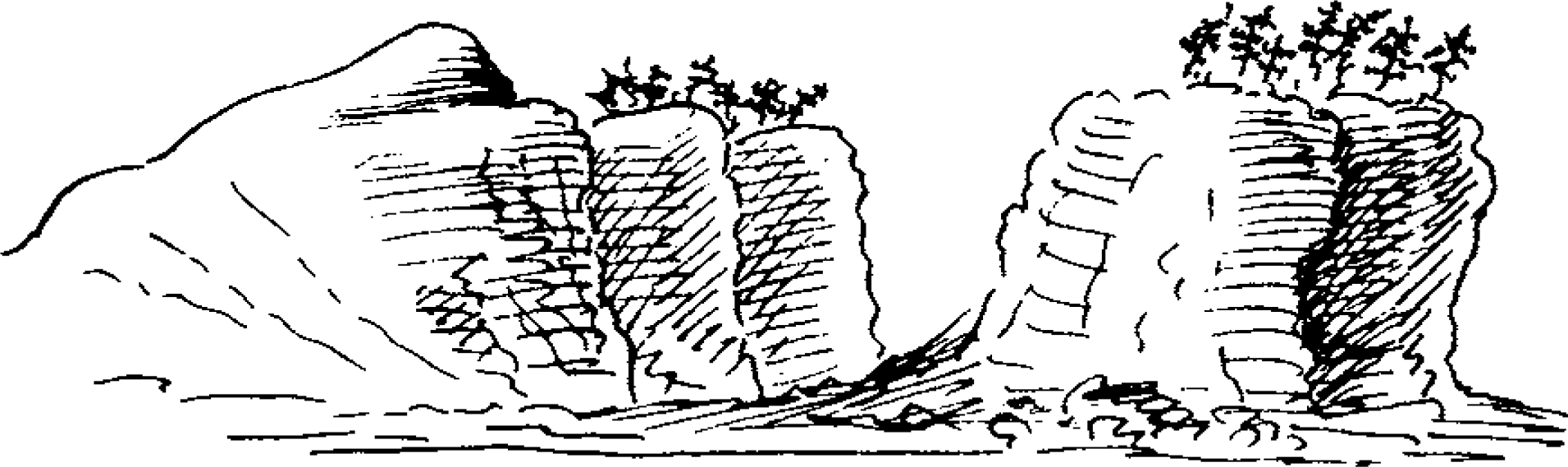
Directly opposite, to the right along the bank at the tip or the edge of a mountain extending to the Mississippi, stand three or four extremely strange rocks full of fissures and clefts. They are most interesting. The one in front is called Devil’s Bake Oven. It has spruce trees on its summit. This place seems to be one of the most interesting along the entire course of this river. Forest and settlements. Near the Bake Oven stands a nice farmhouse. Extensive view up and down the river (Mr. Bodmer sketched the Grand Tower and found this place most interesting and scenic). The dwellings are located most picturesquely at the bases of the rocky turrets along the right bank.
A short distance beyond this rather narrow, rocky passage, the Obrazo Creek pours into the river on the left side. Here we put in and took on some wood at about five o’clock in the afternoon. The hills recede from the southern bank of the creek, which has cut deeply into the ground. Along its high banks grow cottonwoods and willows, where Mr. Bodmer pursued a kingfisher. Near the creek to the north there is highly fertile soil where several habitations were located, in one of which a Negro family, undoubtedly slaves, lived. Between the houses and the bank were a large number of long beds planted with cotton (Gossypium). Tall, slender trees grew along the creek; here the tall Platanus had very large fruits, and the tall elms were in bloom. Near the house stood a sturdy cedar tree, which still had some black berries like those on our junipers. An ingenious crossing had been made over a fence. To the rear, a splendid view of this spot, hemmed in by unusual rocks.
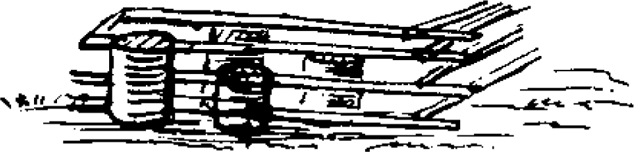
We sailed on. To the right, striking limestone rocks and blocks in the forest. Holes in these stones; urubus flew about above them. A run with a deep cleft; piled-up rocks on the bank. Strong wind, but a splendidly blue sky, warm on the lee side. We continued along the right bank. Big dry, exposed sandbars to the left along the bank.
The river soon makes a turn to the left. Off the point of land to the left, a sandspit. To the right, a remarkable long wooded hill with intermittent, wall-like sections of rock; at the end of it a cultivated field with the nice white house of a planter. Farther on, to the right, a white swan swimming along the bank. To the left on the opposite side along the point of land, wild, tall forest with white Platanus pressing outward. Along the flat bank, wildly toppled timber and limestone blocks. Now we see the Hat Islands with a stand of tall timber along their southern edge. The sun sets and beautifully illuminates them. Hat Island with willows at its tip, then a higher gradation of cottonwoods. Afterward, on the left edge, a stand of tall forest trees that can be seen from afar. We reach them at suppertime. We soon put in on the Illinois bank and take on wood.